Wildfire risk on Western Slope to rise in June amid ‘uncertainty’ about whether El Nino will stave off fire risk later this summer
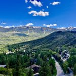
Northwestern Colorado saw drought conditions improve slightly during the month of May

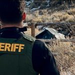
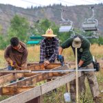
Austin Colbert/The Aspen Times
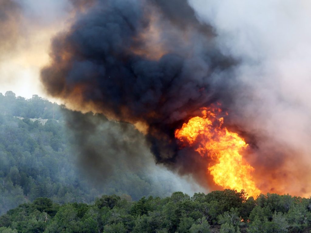
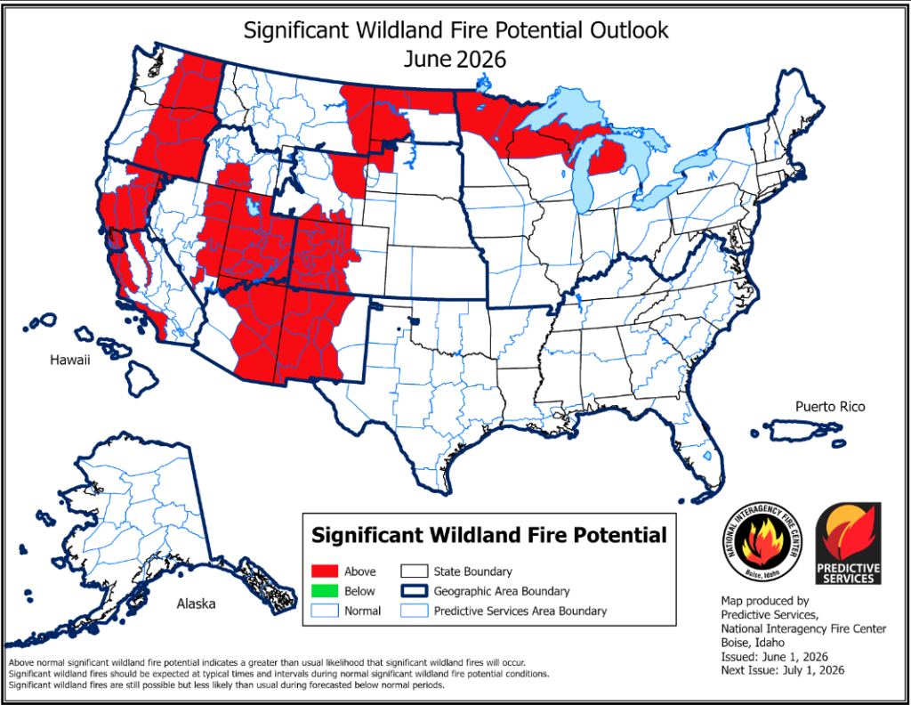
The wildfire risk on Colorado’s Western Slope is expected to rise this month, and could remain elevated through the start of September, according to outlooks published June 1 by the National Interagency Fire Center.
Rocky Mountain Area Coordination Center meteorologist Nickolai Reimer said wildfire risk in the Colorado mountains is expected to increase over the next two months, and it remains unclear whether a shift to an El Nino pattern will bring more rain to the drought-stricken region.
“June and July on the West Slope, along with the Front Range, will see above-normal (wildfire) potential, given the heat and the drought, and the uncertainty with how much potential monsoonal precipitation will actually make it into the area on a consistent basis,” Reimer said during the Monday briefing.
Already, the wildfire season this year has been active, with more than 2,400,000 acres burned — nearly double the 10-year average — across the U.S. through the end of May, according to the National Interagency Fire Center. Those burned acres were the result of about 30,600 wildfires that have started nationwide so far this year, which is roughly 140% more fire starts than normal for this time of year.
After a winter with a historically low snowpack, Reimer noted that drought conditions continue across the Rocky Mountains. While precipitation throughout much of the region was slightly lower than usual, he said northern parts of Colorado in particular did see above-average precipitation that helped improve drought conditions.
The U.S. Drought Monitor shows that 40% of Colorado is now facing extreme, Level 3 of 4, or exceptional, Level 4 of 4, drought, compared to a month ago, when about 58% of the state was under extreme or exceptional drought.
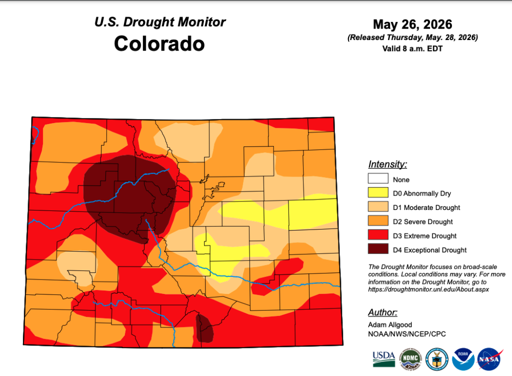
Parts of northwestern Colorado — where the conditions were the worst — saw improvements over the past month, but large portions of Summit, Pitkin, Lake, Eagle, Rio Blanco, Garfield and Routt counties continue to experience the highest level of drought, according to the Drought Monitor.
Most of the Rocky Mountain region would require 10 to 17 inches of precipitation for the drought to end, so drought conditions are expected to continue through the summer, Reimer said. Still, some areas — including parts of Colorado — could see improvements if an El Nino pattern helps bring additional rain.
“Given the outlooks, the entire Rocky Mountain area will see drought conditions continuing,” he said. “However, the southern half of the Rocky Mountain area will likely see some improvement over the next three months.”
While the National Weather Service’s long-term forecasts show that the West will likely continue to experience above-average temperatures throughout the summer, Reimer said there is a chance that the El Nino pattern could bring more precipitation. He explained that the El Nino, which is characterized by warmer-than-average sea surface temperatures, can impact the jet stream and appears likely to shift moisture into the Rocky Mountain West.
The latest long-term forecasts from the National Weather Service show that the Western Slope can expect slightly wetter weather to continue over the next six to 10 days, before dropping off to more normal levels of precipitation in mid-June. In July and August, the region could see above-average precipitation, though Reimer noted that there is a lot of uncertainty about exactly how much rain Colorado and the Rocky Mountain region could see this summer.
“However, how consistent or abundant this precipitation will be — largely owing to this rapid entrance into an El Nino period — does lead to some increased uncertainty,” he said.
Clubhouse Chronicles: AVSC seniors look back on careers at ski club
With the 2025-26 winter season having come to a close, we want to congratulate and celebrate our Aspen Valley Ski and Snowboard Club seniors!

Colorado’s approaching monsoon season and El Niño conditions create hope for above-normal rainfall
Colorado is headed toward a potentially wetter-than-normal summer, with promises of an active monsoon season and growing confidence in developing El Niño conditions.