Pack an umbrella: Labor Day weekend storms likely across Western Slope towns
Meteorologists say multiple rounds of showers could increase the risk of flash flooding in the mountains

Austin Colbert/The Aspen Times
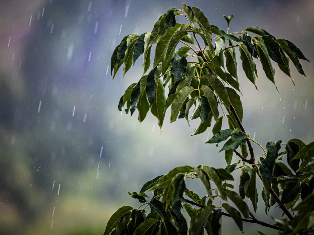
Looking forward to recreating in the Colorado mountains over Labor Day weekend? Pack an umbrella, forecasters say.
Monsoonal moisture is expected to bring more showers and thunderstorms to the High Country through the holiday weekend. Though the storm pattern could be weaker than what the Western Slope saw during the preceding week, isolated storms are expected to bring heavy downpours — and possible flood warnings — to the mountains.
Friday, Sept. 4 and Saturday, Sept. 5 are forecast to deliver scattered late-afternoon showers and weak thunderstorms over the higher terrain. As the monsoonal moisture moves through the state over the weekend, Sunday and Monday could see isolated areas of heavy downpours, lightning and gusty winds, according to weekend forecasts published by OpenSnow.
While forecasts for Friday and Saturday hint at sunny mornings, Sunday and Labor Day Monday are expected to bring higher cloud cover and a shift from a 10-20% chance of thunderstorms to around 50% in some parts of western Colorado, according to National Weather Service estimates.
Brooke Scholtens, a meteorologist with the National Weather Service, said it’s difficult to predict how this weekend’s flooding risk will compare to the mud and rockslides some mountain towns experienced during the last weekend of August, despite Sunday and Monday posing similar chances of precipitation.
“Any time we have two full days of those chances, it does inherently increase the flash flooding risk, as well as debris flows off of recent burn scars,” Scholtens said. “It’s definitely on our radar as we go into the weekend with multiple rounds of showers and storms expected.”
She said temperatures forecasted for the Western Slope are slightly warmer than normal for this time of year, though most areas are close to average. Mountain town temperatures are expected to range from highs in the high-60s to low-80s, with lows hovering around the mid-40s and 50s.
“It seems pretty typical for this time of year, considering we’re in that shoulder season transition toward fall,” she said.
Beyond Labor Day weekend, she said “models tend to diverge in outcomes come Tuesday of next week,” meaning certain weather models support a rainy forecast for the days after Sept. 7 while others say the moisture won’t stick around.
“It’s hard to tell past Monday how long we hold onto the precipitation chances, and it’s just something we have to wait to figure out,” she said. “A lot of it can also be influenced by some tropical systems spinning in the eastern Pacific.”
For those planning to recreate in the mountains over the holiday weekend, meteorologists recommend checking the forecast and flood risk in their area ahead of time.

Chalet Alpina breaks ground at Aspen Mountain’s historic Lift One base
Chalet Alpina has officially broken ground at Aspen Mountain’s historic Lift One base, marking the start of construction on an envisioned year-round neighborhood that will include timeshares, residences, restaurants, retail and additional amenities.




Skier gets justice in Aspen Mountain hit-and-run case 2 years later
Anne Cassidy had just unloaded from Gent’s Ridge lift on Aspen Mountain in February 2024 when she felt a jolt from behind that caused her knees to “crumble like a lawn chair.”