More snow flurries in Colorado mountains to be followed by more precipitation as yet another dry period approaches

Andrew Maciejewski/Summit Daily News
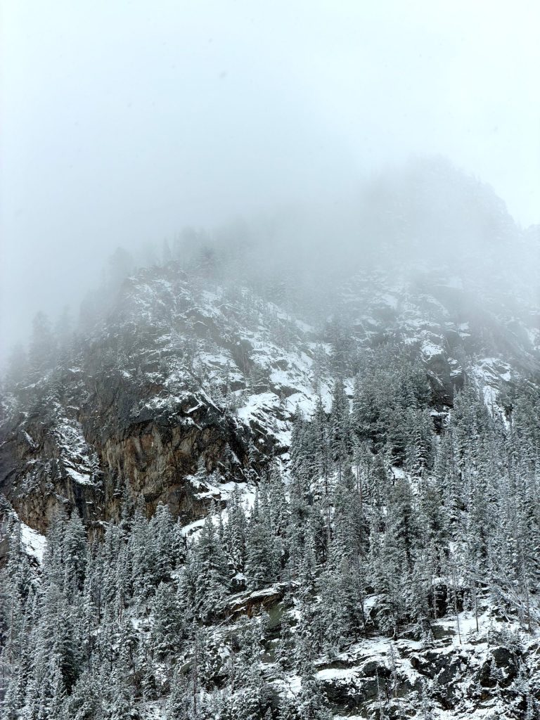
After daily snowfall and another snow-making system moves toward Colorado, patterns are shifting amid an inconsistent year for seasonal weather.
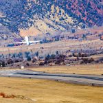
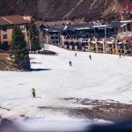
Various mountains picked up between a few to 5 inches of snow from Saturday to Tuesday afternoon. Another system that will bring precipitation in the form of snow and rain, depending on elevation, is expected to hit before the weekend, and then more precipitation is expected to fall into next week.
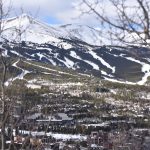
This comes after months of below-normal snowfall and above-normal temperatures that have deepened drought conditions in surrounding mountain communities, with much of the state’s northwestern area now listed as the most severe level: exceptional.
The National Weather Service expects most mountain towns in Summit County to get an inch each night between Wednesday and Friday before a brief reprieve in precipitation. Chances for rain are forecast from Sunday until at least Tuesday, with thunder and lightning possible. Some forecasters, like OpenSnow, are showing a possibility for snowfall Thursday and Friday to be more significant with snow totals of up to 4 inches both days.
Colorado’s last two ski areas open, Copper Mountain Resort and Arapahoe Basin Ski Area, are forecast to get 9 inches of snow before their closing days on Sunday, May 3.
While lows will remain in the mid- to low-20s through the weekend, lows will increase to around 32 degrees through the weekend and into the start of next week, with highs growing from the high-40s to the high-50s during the next week’s timeframe.
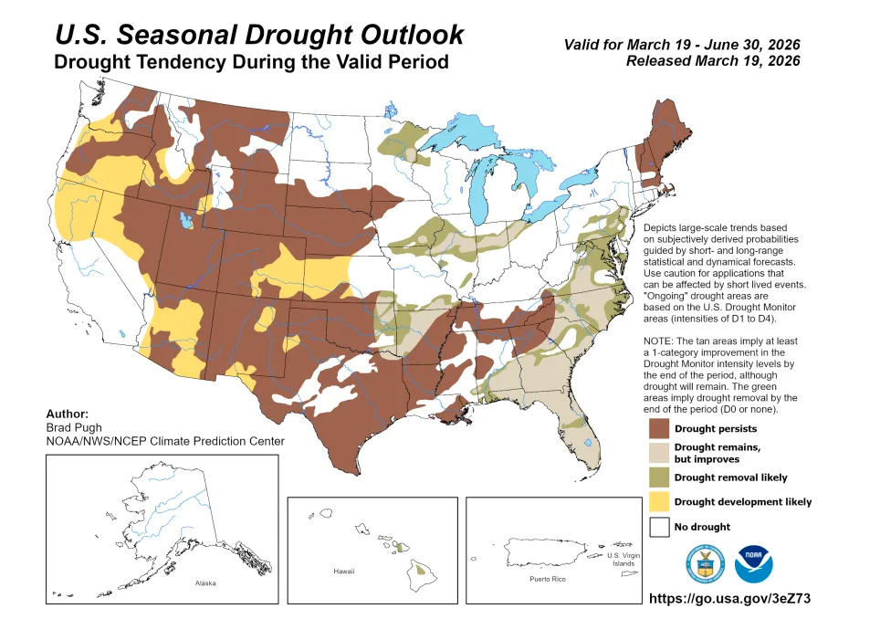
Long-range forecasts call for above-normal precipitation and near normal temperatures in a majority of short-term forecasts, which predict weather for a month or less time. Long-range month and three-month forecasts do call for a drier and hotter period, according to the National Oceanic and Atmospheric Administration.
“Drought is likely to persist across much of the West while developing in parts of the Pacific Northwest, Great Basin, central Rockies and Southwest,” wrote Jon Gottschalck, chief of the Operational Prediction Branch, NOAA’s Climate Prediction Center. “Dry conditions are expected to improve for some areas in the Midwest and Atlantic seaboard.”
While an impending super El Nino event could mean more precipitation for Colorado or southern states in the West, the country is currently transitioning from La Nina to ENSO-neutral conditions, meaning neither El Nino or La Nina.
Original reporting from summitdaily.com

La Greca: A really good plot twist, turning chaos into an adventure
Anyone who spends their days caring for children knows that the line between a picture perfect afternoon and utter chaos is incredibly thin.