Colorado mountains forecast to get more snow, but will it overdeliver the forecast like Tuesday?
Just days after a sudden burst of heavy snowfall contributed to a 70-vehicle crash near the Eisenhower Tunnel, another storm is expected to bring fresh snow to Colorado’s High Country

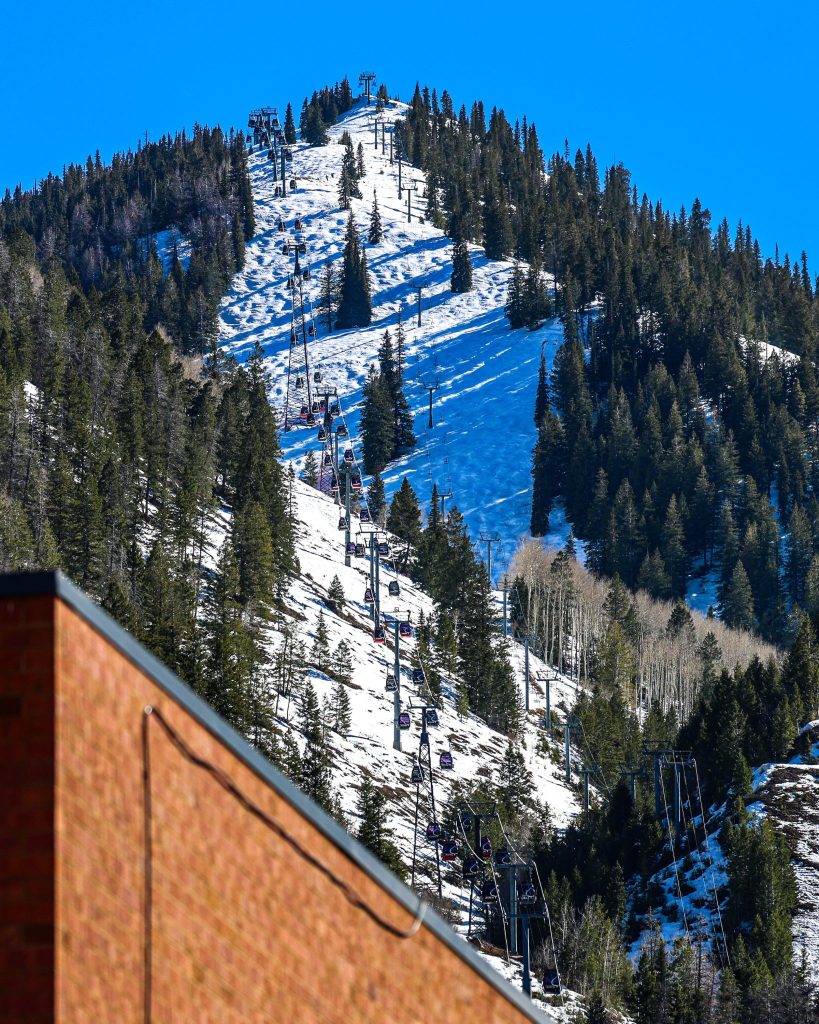
Austin Colbert/The Aspen Times
A fast-moving burst of heavy snow on Tuesday that dumped up to a foot in parts of Colorado’s northern mountains contributed to a 70-vehicle pileup on Interstate 70 — and forecasters warn another period of potentially hazardous travel is on the way.
Tuesday’s storm delivered around 5-10 inches to the central mountains and 6-12 inches to the northern mountains — slightly lower than the forecast for central mountains and higher for northern mountains.
A few hours of intense snow drifted farther eastern than initially predicted by most forecast models, according to a Thursday OpenSnow report, causing up to 6-12 inches of accumulation to quickly pile up along the northern mountains.
“This storm had a lot of moisture, which can translate into intense 1-3 inch-per-hour snowfall rates anywhere the storm’s energy happens to track,” OpenSnow Founding Meteorologist Joel Gratz wrote in the report. “This is what happened in the northern mountains — most of the 6-12 inches of snow fell in just a few hours (or less!) during intense bursts.”
Gusty winds along the mountains also reduced visibility along some areas of Interstate 70, and heavy snow accumulation on the roadway created slick conditions for vehicles with insufficient tire tread depth.
Those were believed to be some of the primary factors behind a Tuesday afternoon crash involving roughly 70 vehicles on the eastbound lanes of Interstate 70 near the Eisenhower Tunnel. Eastbound lanes were blocked off from about 3-8 p.m. Tuesday evening for medical staging, and 40 vehicles were towed from the crash site.

With another storm forecast for Thursday night through Friday night, Colorado State Patrol is cautioning drivers to slow down and avoid following too closely.
Friday’s storm is on track to bring an estimated 3-8 inches of snow to the north and central mountains, with the most intense snow likely falling around Friday morning and midday, followed by more showery precipitation later in the afternoon.
Temperatures will be notably colder than Tuesday’s storm, dropping to highs in the 30s for northern mountain towns (Vail, Breckenridge, Winter Park and Steamboat Springs) and 40s for central mountain towns (Aspen and Glenwood Springs).
On mountain peaks, temperatures will drop during the day from the low 20s into the low teens, according to OpenSnow. Although the storm is expected to have less moisture than what the mountains saw on Tuesday, strong “storm energy” could create multiple hours of intense snow and efficient snowflake formation, which could bump up snow totals.
Sub-freezing temperatures as low as 16 degrees are also possible Thursday night, and as low as 12 degrees throughout Friday night, according to a freeze warning posted Thursday morning. The post also warns of possible power outages, as well as damage to sensitive vegetation and unprotected outdoor plumbing.
Friday and Saturday morning could both boast some powder for ski areas, though Saturday will quickly shift into a sunny day with lingering clouds.
More rain and snow are likely around April 24-28, with multiple models showing a range of 5-15 inches of snow, according to OpenSnow.