Colorado mountains brace for final storm before mid-January dry spell
Mid-week snowstorm brings colder temperatures back, but meteorologists warn they won’t stay for long

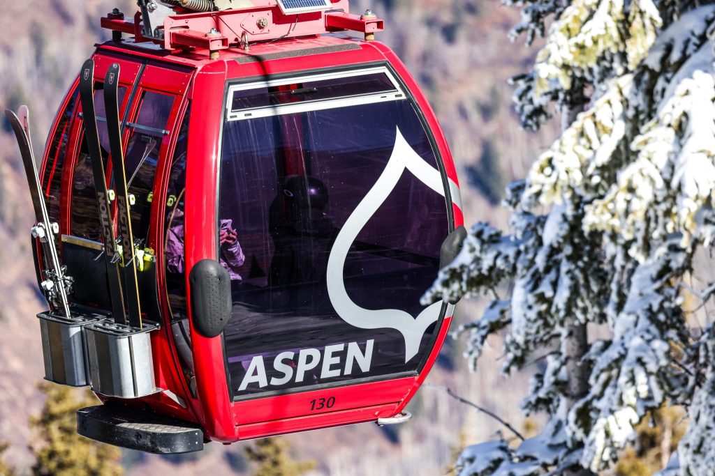
Austin Colbert/The Aspen Times
Colorado’s northern and central mountains are poised to see their final round of snow and cooler temperatures for the first half of January beginning Wednesday, followed by another dry period and a return to above-normal temperatures.
Many northern and central mountains saw between 5-10 inches of snow on Monday afternoon and Monday night, thanks to intense showers forming over the northern 2/3rds of the state, according to a Tuesday OpenSnow report.
A-basin, Copper and Aspen-area mountains saw the most snow, landing between 8-9 inches of total snowfall. Vail, Steamboat, Breckenridge and Sunlight mountains saw snow near the lower end of the scale, about 5-6 inches.
A second storm isn’t too far behind. Despite Tuesday being mostly sunny and dry throughout the day, more snow could accumulate around Colorado’s northern and central mountains as early as midday Wednesday, according to the report, with heavier snow rates arriving Thursday and Friday.
Braeden Winters, a Grand Junction meteorologist with the National Weather Service, said the three-day storm ending Friday is expected to bring 4-8 inches of total snow to the Western Slope mountains on a broad scale, with the potential for some mountains to gather slightly more.
While Winters said the snow will likely be enough to make a dent in the state’s low snowpack, meteorologists “would like to see a little bit more.”
“It’ll help, because any amount of snowfall will help, it’s just not quite as much as we probably would be hoping right now,” he said.
The storm presents a few conflicting factors. Cold air on Thursday night could mean less moisture for the cycle, while any slight adjustment to the storm’s track could mean a significant change in the snow forecast, according to OpenSnow.
“I think a reasonable way to look at this system is for the chance of a little snow on Wednesday, a high chance for significant snow from late Wednesday night through late Thursday night, and then snow showers on Friday,” OpenSnow Founding Meteorologist Joel Gratz wrote in the Tuesday report.
The storm will start out with warmer temperatures in the 30s to 40s on Wednesday, which will decrease as the week goes on. Thursday’s snow showers will be accompanied by temperatures in the 20s to mid-30s, falling to the teens on Friday for most mountains.
This return to cooler temperatures is a significant shift from the record-shattering high temperatures experienced by several parts of Colorado through the month of December, though it’s not certain whether the change will stick. Winters said Friday’s temperatures are even forecasted below normal for this time of year.
“On Friday, it’s looking like high temperatures out there in the mountains are maybe even slightly below normal, which is kind of crazy to think about, given what we’ve seen recently,” Winters said. “For the first time in a while, we’re looking at something more typical for the region.”
Those traveling along or near I-70 can expect dry road surfaces and normal travel speeds through Wednesday night, transitioning into wet and icy road surfaces on Thursday morning. Higher-elevation roads could see some snow accumulation from Thursday afternoon through Friday night, according to OpenSnow.
Next week to bring more dry weather
Past the three-day storm, there’s not much snow in the longer-range forecast.
The next chance for snow on the forecast won’t come until Jan. 17, leaving a dry period between Jan. 10-16. The week’s temperatures are expected to be slightly warmer than normal for mid-January, moving around the 20s in mountains, according to OpenSnow.
“We’re talking maybe 5-10 degrees above normal, as opposed to the 10 plus degrees above normal that we saw throughout much of December,” Winters said. “So it’ll be warmer than we’ve typically seen at the start of the year, but nothing too crazy, at least relative to more recent weather patterns.”
Winters said the state is learning toward seeing above-normal temperatures throughout the rest of the winter, based on the Climate Prediction Center’s outlook, though it’s difficult to determine whether the region will come close to hitting December’s temperatures again.
Once more storms arrive to the Western Slope, they’re expected to stay from Jan. 17 though Jan. 20. Beyond that, it’s a coin toss.
“For January 17-20 and beyond, this storminess could range from cooler air and no snow to a lucky storm that swirls over the southwestern U.S. and produces a meaningful amount of snow,” Gratz wrote. “We’ll see how it shakes out.”
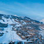
This season’s below-average snowfall means that most mountains have limited terrain open. According to OpenSnow’s live snow reports, Wolf Creek and Silverton are the only two resorts at or near 100% of terrain open, with several Aspen-area mountains sitting between 70-90% open.


Aspen High School graduate battles rare illness with over 120 days in ICU
An Aspen High School graduate is currently battling a very rare illness, spending her birthday, Christmas, and New Year’s in the Intensive Care Unit.