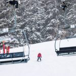
The snowpack this winter is ‘pretty ugly’ but still not the worst Colorado climatologists have ever seen
At some long-term snow measurement sites, the winters of 1976-77 and 1980-81 were worse than this year, but not by much

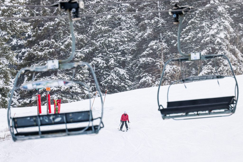
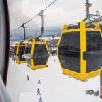
Austin Colbert/The Aspen Times
The data is in: It’s not the least snowy winter that Colorado has ever seen — at least not yet — but it’s close.
Across Colorado, the state’s array of snow telemetry, or SNOTEL systems, have documented record-low snowpack conditions in numerous river basins and on a statewide level several times this winter.
Since about Jan. 15, the snow telemetry system has had Colorado’s snowpack statewide sitting at the zeroth percentile, or the worst on record compared to the 30-year period from 1991 to 2020.
“We’ve been stuck for the most part in this warm and dry pattern across the West, going back really to the fall,” Colorado Climatologist Russ Schumacher said. “The snowpack numbers pretty much everywhere in Colorado are pretty ugly right now.”
But going back in Colorado’s history, 1976-77 and 1980-81 are two winters often considered “the worst” for snow. Schumacher noted that the state’s snow telemetry system only began to be built out in the 1980s, so comparison can be difficult. That’s where snow course measurements come in.
Snow course measurements, which have been taken by hand about once a month at some sites in Colorado since the 1930s, allow for more direct comparisons to those historically bad snow years.
“That allows you to actually make some comparisons to those really, really awful years from the 76-77, 80-81 that the longtimers there in the mountains will remember,” he said. “This year’s not as bad as those, but in a lot of places, it’s the second or third worst when you include those years.”
The Colorado Snow Survey, which is part of the U.S. Department of Agriculture, took its first snow course measurements of this winter on Feb. 1.
At Independence Pass, one site where snow course measurements have been taken for well over half a century, this is the second-worst snowpack on record, according to the data. The only year when Independence Pass had a worse snowpack was the winter of 1976-77.
At a snow course measurement site in Blue River in Summit County that has about 70 years of data, this year was also the second-lowest snowpack on record, behind only the winter of 1980-81.

Yet, at a snow course measurement site at Berthoud Pass, this year is only the 12th worst on record. The worst February snowpack on record at Berthoud Pass was, once again, during the winter of 1980-81.
“There have been some really bad snow droughts in the past, but this is right up there with them,” Schumacher said. “Statewide, with the snowpack being so bad everywhere, that’s not something you see very often, and it’s something we probably haven’t seen across the state since that 1981 winter.”
Like 1981, this winter season has been marked by low snow totals and abnormally warm weather, he said. What is different this year, compared to 1981, is that Colorado has experienced a long-term warming trend over the past several decades due to human-caused climate change, he added.
Statewide, annual average temperatures have warmed by about 2.3 degrees Fahrenheit between 1980 and 2022, according to the Climate Change in Colorado report. The report published in 2024 found that only one year in the 21st century has been cooler than the 1971-2000 average.
While climatologists have low confidence in how precipitation patterns in Colorado are expected to shift due to climate change, there is very high confidence that the state will see warmer temperatures as a result of climate change, according to the report. By 2050, the report predicts that the average year is likely to be as warm as the very warmest years on record through 2022.
While the heat of the winter of 1980-81 could have been considered abnormal, these types of warm winters “are not as much of an outlier as they used to be,” Schumacher said. He noted that this past December was the warmest on record in Colorado, which has temperature records dating back nearly 150 years.
“Unlike a lot of places in the country, Colorado is a place where people want it to be cold and snowy,” he said. “So, when that doesn’t happen, it does stand out.”
Looking ahead to the rest of the winter season, Schumacher, like many Coloradans, has his fingers crossed for more snow. Not only would that help ski resorts and local economies that are dependent upon snowfall, but he said it also carries on into the rest of the year since the snow that falls now sets the stage for streamflows, reservoir levels, and fire danger this summer.
Luckily, forecasts show some promise of a shift in precipitation patterns in the coming weeks, he said. While the longer-term forecasts for the spring are less certain, there is some indication that the current La Niña pattern could change to a more neutral pattern, which tends to benefit Colorado, he said.
“We have another five days or so of really, really warm and dry (weather), but then mid-next week the pattern is going to change,” Schumacher said. “At least at this point, it doesn’t look like there are big blockbuster storms in the outlook for that period, but it will be a pattern where at least it will be set up to get more regular snow like we tend to see in February.”