Colorado’s mountains could see up to 20 inches of snow this weekend. Here’s what it means for snowpack, road conditions

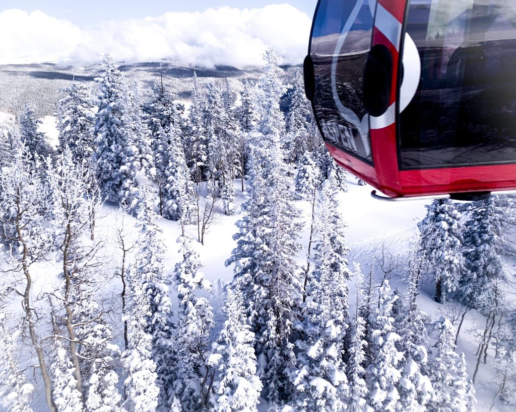
Austin Colbert/The Aspen Times
After a historically slow start to winter, Colorado’s ski resorts could be on track for a comeback with some forecasting as much as 20 inches of snow this weekend.
Snow totals already saw some momentum earlier this week. A storm stretching from Tuesday night through Wednesday night delivered several inches of snow to northern and central mountain resorts. As of 5 a.m. on Thursday, Vail and Aspen Mountain had accumulated 6 inches of snow, with resorts like Sunlight and Steamboat seeing between 2-3 inches respectively, according to a Thursday OpenSnow report.
This weekend is expected to bring even more snowfall, thanks to a three-day storm stretching from Friday morning into Sunday.
Weekend forecast and travel conditions
Friday will begin with light-to-moderate snow for the northern and central mountains, transitioning into intense snow late at night or early Saturday morning. OpenSnow Meteorologist Joel Gratz described Saturday’s forecasted weather as “intense snow and very windy,” which will likely impact lift operations and create low road visibility.
Wind gusts could be as high as 35 miles per hour in some higher-elevation areas of the Western Slope, jumping to 50-60 miles per hour at the highest peaks on Saturday, according to Boulder-based National Weather Service Meteorologist Zach Hiris.
The National Weather Service has also issued a winter storm warning for the I-70 corridor for most of Friday night through Saturday night, Hiris said.
Road closures are likely to happen in the northern mountains due to accidents and low visibility, so drivers are encouraged to plan accordingly.
“We’re thinking it’s going to be some pretty rough travel across all the ski country this weekend, just from the combination of snow and blowing snow,” he said.
An additional winter weather advisory is scheduled to go into effect tonight through Friday morning for the Steamboat Highway 40 corridor before the weekend storm warning kicks in.
“We could start seeing some travel impacts across the Highway 40 corridor … as early as sometime later tonight (Thursday),” Hiris said. “Saturday morning especially looks like it’s going to be a really rough time to be traveling through any of the mountain corridors right now.”
Winds are expected to slow down by Saturday night, with “bonus fluffy snowfall” over the northern mountains as the jet stream moves overhead. Snow should end by midday Sunday.
Snow estimates
The northern mountains, including Vail, Copper, Steamboat, and Breckenridge, are expected to see anywhere between 10 to 20 inches of snow during the weekend. The central mountains can expect between 6 and 12 inches, according to OpenSnow.
“If the forecasting science works and this storm delivers, this could help the northern and central mountains substantially build their snowpack and allow a decent amount of additional terrain to open on Sunday and next week as mountain operations crews dig out,” Gratz wrote in the report.
Skiing conditions will likely be best on Sunday, with dense snow as a base due to Saturday’s wind and fluffier snow on top, particularly for the northern mountains. He said the new snow should allow additional terrain to open on Sunday through early next week.
Temperatures throughout the weekend will likely be in the upper 20s to low 30s during the day, falling into the teens overnight, with some variation between valleys and peaks. Hiris said temperatures are expected to be 10 to 15 degrees colder on the mountain peaks.
Good news for Colorado’s snowpack
After hitting a record low for the state at the end of November, Colorado’s snowpack is slowly inching up to normal levels, with this weekend’s storm anticipated to make a dent.
Hiris said basins along the I-70 corridor and in the northern mountains are struggling as a whole, sitting at roughly 40% of the median through early December.
“It’s hard to know specifically the effects (this storm) is going to have on the snowpack, just until we get a sense of how much liquid does fall,” he said. “As a whole right now, the northern half of the state is kind of in the worst conditions in terms of snowpack right now.”
The longer-range forecast shows that some snow could reach the northern mountains between Dec. 8 and Dec. 11, with a 50-70% chance of accumulating snow. Dec. 14-18 will be the next chance for snow, though odds are at 50% as of Dec. 4.
While Dec. 8-14 is expected to bring drier weather, Gratz said it’s possible more terrain could open.
“Storminess could return after Dec. 14. We need just one significant system to keep our comeback on track,” Gratz said. “Fingers crossed.”


PHOTOS: Aspen skiing icon Klaus Obermeyer celebrates 106 years young
Aspen icon Klaus Obermeyer celebrated his 106th birthday on Tuesday with a party inside the Obermeyer headquarters at the Aspen Airport Business Center.